Page History
| Anchor | ||||
|---|---|---|---|---|
|
| Table of Contents | ||
|---|---|---|
|
Overview
| Styleclass | ||
|---|---|---|
| ||

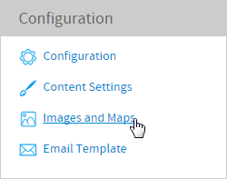
Image Types
In the Image list you will see an icon form both types of images supported:
| Basic images can be used as background images for Charts |
| Maps which are used for generating heat maps. |
...
Loading Images
| Styleclass | ||
|---|---|---|
| ||
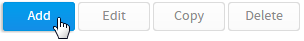
- Click the
 Add link button to open the 'add ‘add new image' image’ page.
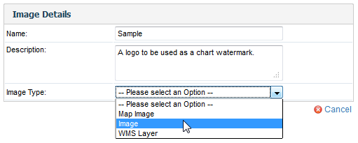
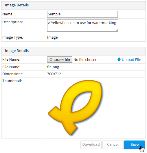
- Type in the name and description of the image you wish to load and select 'Image' ‘Image’ from the drop down.
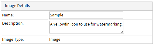
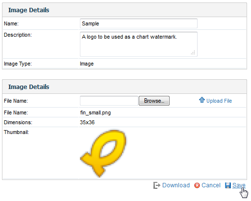
- The page will now display the browse and upload section. Browse for your image file and click the upload link to load the image to the server.
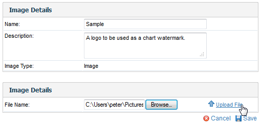
- The image thumbnail will now be displayed. Click save to save your changes and return to the list.
...
| horizontalrule |
|---|
| Styleclass | ||
|---|---|---|
| ||
Now that the image has been loaded when creating a chart you will see on the background options drop down the ability to add images to the chart.

See the Image Map tutorial for more information.
| horizontalrule |
|---|
...
| Class | topLink |
|---|
...