Page History
| Anchor | ||||
|---|---|---|---|---|
|
| Table of Contents | ||
|---|---|---|
|
Overview
| Styleclass | ||
|---|---|---|
| ||
Zoom & Navigation
| Styleclass | ||
|---|---|---|
| ||
Hover Navigation
The hover navigation, enabled in the Settings menu, allows the user to zoom in & out and navigate around the map.
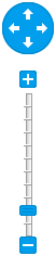
Bottom Navigation
The bottom navigation, enabled in the Settings menu, allows the user to zoom in & out, click on an area of the chart to re-centre, and reset to the original zoom level.

Mouse Scroll Zoom
All maps now have zooming enabled with the scroll of a mouse, just hover over the map and scroll up or down to zoom in or out.
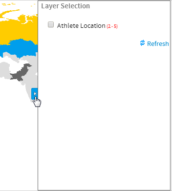
Layer Selection
| Styleclass | ||
|---|---|---|
| ||
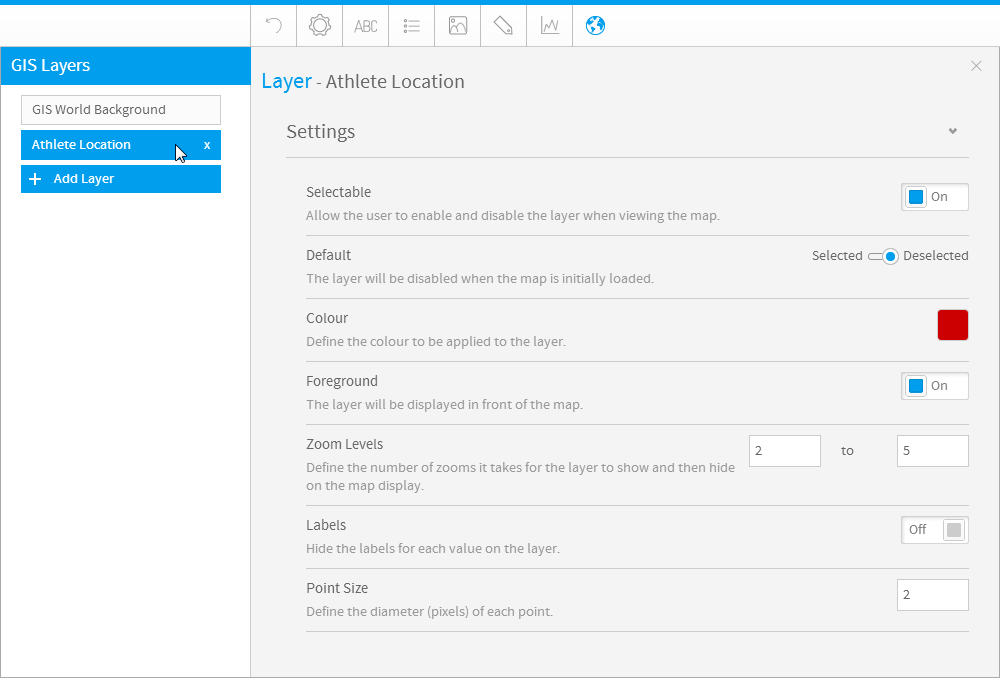
Clicking on the arrow will expand the panel and allow you to select layers to display or hide.
Tooltips
| Styleclass | ||
|---|---|---|
| ||
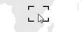
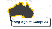
Active Tooltips
Active tooltips on maps allow the user to hover over an area, highlighting it and displaying its value.
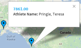
Google Tooltips
Google map tooltips allow for a label, description, and link if desired. The user just clicks on a pin to display the bubble and contained information.
| horizontalrule |
|---|
| Styleclass | ||
|---|---|---|
| ||