Overview
A WMS layer is a georeferenced map image loaded from a Web Map Service. These are used as backgrounds and overlays for geographical maps in Yellowfin.
Load WMS Layers
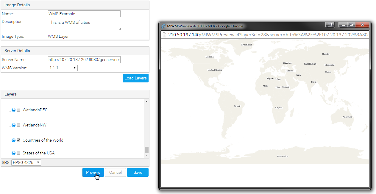
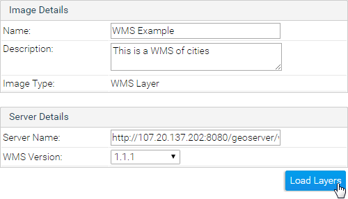
- To load a WMS Layer go to the Images and Maps link in Administration. Select the WMS Layer image type and enter the server details as per your WMS server. Click the Load Layers link to view all the WMS layers on the server.
- You should now have a list of layers that you can preview and save by selecting the checkbox next to a layer and then clicking the Preview and Save links.
- Once saved, you should then see the WMS layer listed on your Images and Maps list.