Page History
...
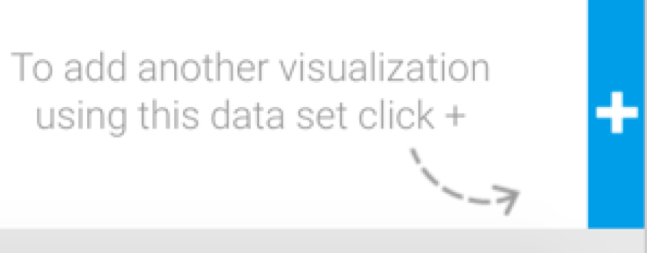
- Click on the + button on the bottom-right of the screen (for a GIS map, this provides extra options, as opposed to only creating a new chart).
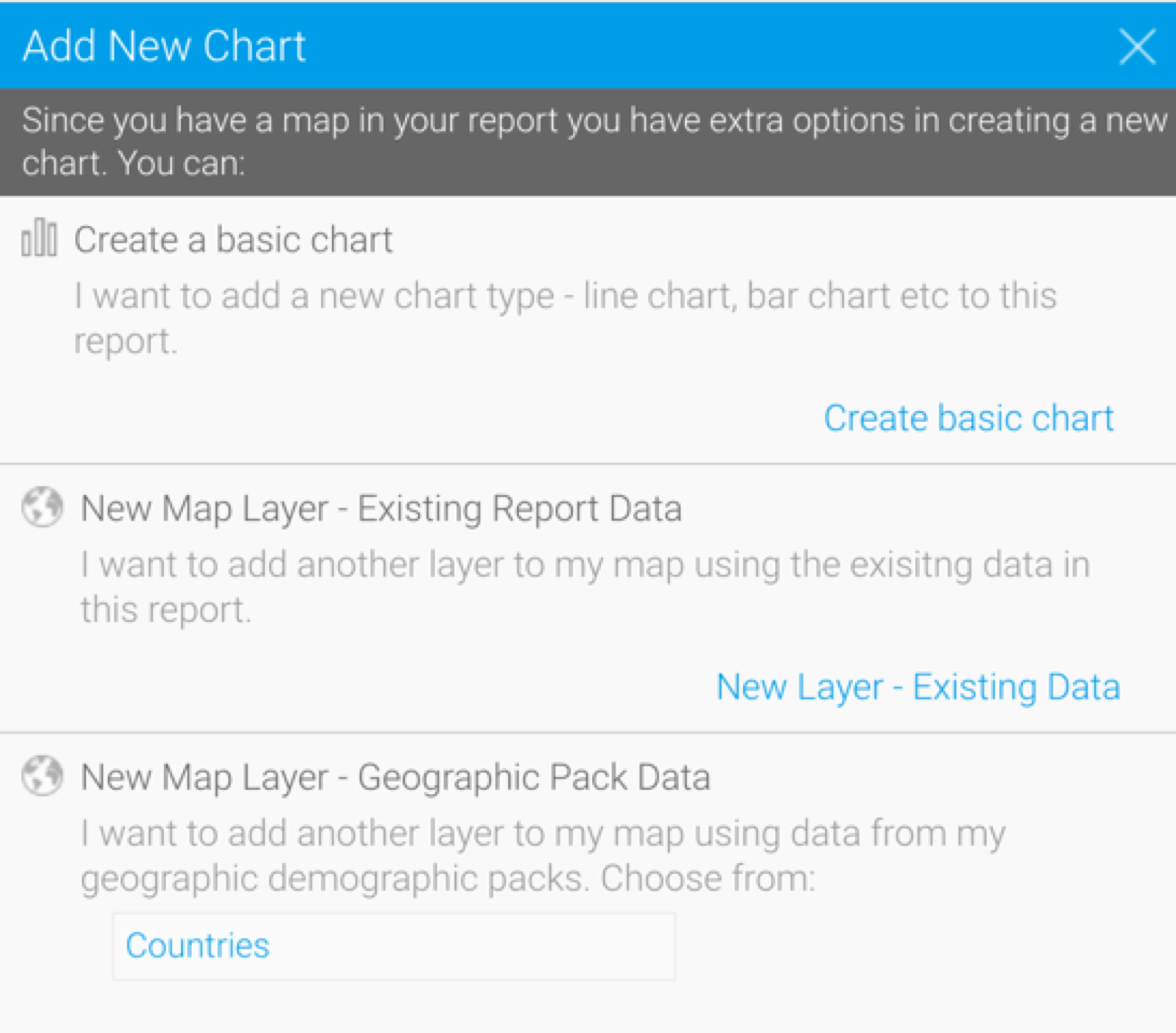
- When the following popup appears, choose one of the two options to add a layer to your map:
- New Map Layer - Existing Report Data: Use this option if you new layer will use data already in this report.
- New Map Layer - Geographic Pack Data: Use this option if you want to use data from a Geographical pack in the new layer. Note that you can get ready-made geographical packs from Yellowfin's GitHub to add to your Yellowfin instance.
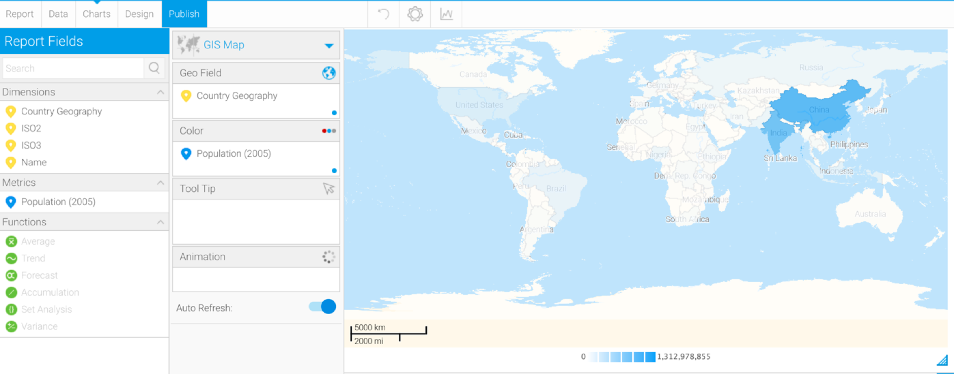
- If you selected the Existing Report Data option, then your selection will create a new layer in the chart builder, with existing field data. Drag these fields to the chart components to create the chart layer, much like you would with any chart.
- Alternatively, if you selected a Geographic Pack, then the chart builder will display data from the selected Geopack. You can create your map layer by using this data.
- Once the map layer is created, you’ll be able to see its icon at the bottom of the chart builder, differentiating it from the main or primary map.
Note: learn more about the GIS Settings option in the chart formatter here.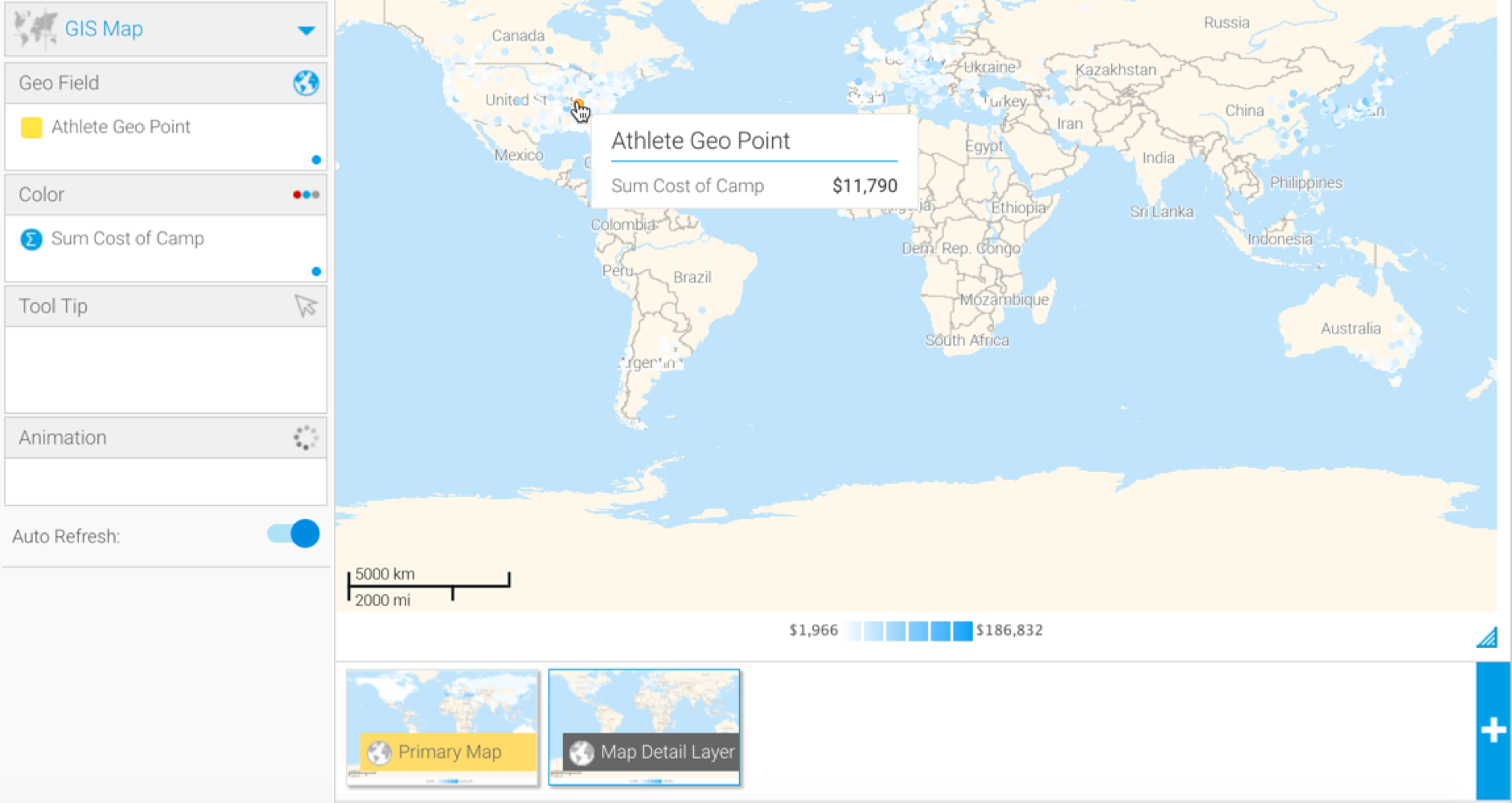
...